By allowing ads to appear on this site, you support the local businesses who, in turn, support great journalism.
Oakwood looking at mapping, fixing up cemetery
City considering putting up monument for veterans
0417cemetery4
The Oakwood City Cemetery covers more than 4 acres along Plainview Road near downtown Oakwood. - photo by Tom Reed

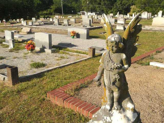
Progress and change may mark this South Hall city’s agenda, but officials are working to preserve a piece of history that traces back to its roots.

Oakwood is looking at making some improvements to the 4.14-acre City Cemetery, which is off Plainview Road and across from Oak Street.

“The main thing we’re doing right now is trying to keep the grass maintained, trim the weeds, things like that,” City Manager Stan Brown said during a visit to the cemetery Monday morning.

Future work could include adding some type of access to the rear of the property, a grassy area that contains no visible gravesites. The cemetery has a narrow street that circles the graveyard and a short road jutting out to take visitors to newer plots.

Also, the city is looking at putting up some kind of monument recognizing the veterans buried there, Brown said.

Several headstones scattered through the graveyard describe the military service of those interred. Confederate flags are planted next to the markers of those who served in the Civil War.

Also, the city “is going to do an update of our (cemetery) records,” Brown said. “We’ve got paper documentation and some old maps that we use as a reference.

“We have deeds that we’ve issued to various plots. And we’ve got a register that’s handwritten, a log book where we track who all purchased lots.”

Brown said he is considering asking City Council to OK a data information system, which would involve shooting photos of headstones and recording information off them.

The system could expedite families’ search for past relatives, rather than just having them scour the cemetery looking at names on headstones.

Some of the city’s most prominent families are buried in the cemetery, which, judging by what’s inscribed on markers, dates to at least to the early 1900s.

“We need to look at where all the cemetery plots are and come up with a good layout of how we would finish out the cemetery,” Brown said.

The city would work with the Gainesville-based Georgia Mountains Regional Commission on the effort, which would involve the use of GPS for each headstone.

“Basically what we would be doing is conducting an inventory for this cemetery,” said Faith Bryan, the commission’s director of information services.

“Another part of (the work) ... is an archaeological survey of some older sections, so we can determine whether there are any unmarked graves there.”

The GMRC is talking with the city of Dahlonega about a similar effort at its Mount Hope Cemetery. The commission also has worked with Mount Airy and Demorest on cemetery projects.

Brown said he sees the work as significant.

“It’s great that we maintain City Hall and the park and keep that looking great and make a good impression for the community,” he said. “But ... it’s also how you show respect for the past. Communities are judged by that, as well.”