
On the list of potential natural disasters, floods are a distant third in Hall County.
With its natural topography, lack of major tributaries and a huge man-made catch basin called Lake Lanier, Hall County is not as susceptible to flooding as the metro Atlanta counties that were swamped with stormwater this week, officials say.
The swollen rivers and creeks that caused some $250 million in damage and claimed eight lives in other parts of the state are largely absent in Hall, officials note.
“There’s nothing in our county that would create a big flood,” said Hall County Emergency Management Coordinator William Wright. “The water is more controlled.”
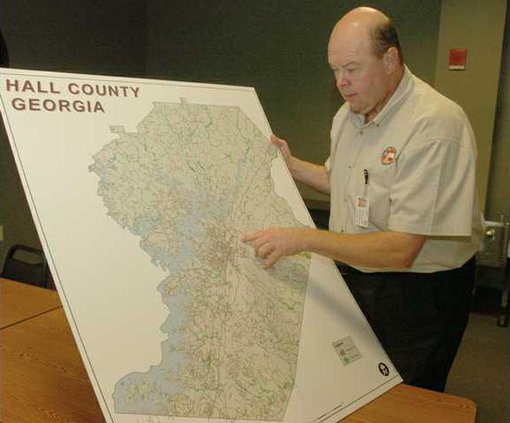
Topography in relation to waterways is another important factor, said Hall County Emergency Management Director David Kimbrell.
“We don’t have any areas like the Suwannee River and Yellow River, where it’s so flat beside it,” Kimbrell said. “Most of our waterways have an embankment to them.”
Hall may have seen some moderate flooding had it received the amount of rainfall that other areas got. While Hall County had 10.7 inches of rain between Sept. 14 and Sept. 22, parts of Gwinnett, Paulding, Fulton and Cobb got 20 inches, mostly falling between Saturday and Monday, according to the Frank Taylor, a forecaster with the National Weather Service.
“(Hall) got probably half as much as some of the big flooded areas,” Taylor said.
County officials say there have been 11 moderate floods in Hall County in the past 50 years, though none approached the severity of the flooding seen this week in the metro Atlanta area. Every year in Hall County, there is a 22 percent chance for a “moderate flood event,” according to officials. Historically, the most susceptible areas for flooding are near Flat Creek, Little River and Balus Creek.
But while there are dozens of flood plains designated throughout Hall County, most are relatively small and in sparsely populated areas. Management of development plays a big part in that, Wright said. In the event of flooding, public infrastructure such as roads and culverts likely would see more damage than private property, Wright said.
Charles Turner, an engineer for Hall County, noted that compared to the flatlands of South Georgia, Hall’s flood plains are “rather narrow.”
As part of a Pre-disaster Hazard Mitigation Plan, Hall County officials have prioritized natural disasters. The No. 1 threat to Hall County is tornadoes, followed by winter storms, then flooding, Wright said.
“We’re by no means immune from it, but it’s our third-priority hazard,” Wright said.
Insurers take note of Hall’s low risk of major flooding. With the county’s “preferred zone” rating, its residents aren’t rushing out to buy flood insurance.
“We sell very little out of this office, and I would say most agencies in town sell very little, because Hall County is not really a highly susceptible area for flooding,” said Lee Rogers, an agent with Gainesville’s Southeastern Insurance Group.
Said Kimbrell, “Hall County’s just a great place to live.”