The heavy rain North Georgia has seen during the past day could help boost Lake Lanier by as much as 3 to 4 feet by today.
State Climatologist David Stooksbury said saturated soil and heavy rain have helped fill the lake.
"We’re seeing Lanier rising at a rate of about an inch an hour," Stooksbury said Tuesday afternoon. "I would be surprised if Lanier is not up another foot. This rain could mean 3 to 4 feet."
Since Monday morning, Lake Lanier has risen by nearly two feet. At 10:45 a.m. today, the level was 1,055.16 feet above sea level. The lake’s full pool level is 1,071 feet.
But the National Weather Service canceled a flood warning for Hall County and much of Northeast Georgia this morning. A flood warning remains in effect in Forsyth County.
Though the rainfall is much needed, Stooksbury said it does not mean the drought is over.
"The hard part could be continuing the rainfall," Stooksbury said. "While that’s going to be a nice improvement — just what we want to see — it’s going to take much, much, much more rain over the next several months."
More rain could be in the picture.
Assistant State Climatologist Pam Knox said there are signs that indicate North Georgia could see a wet winter.
"There’s some signs that the weather pattern now is shifting into what we call a La Nina pattern," Knox said. "When we’re in that situation, North Georgia can actually have an increase in rainfall."
Stooksbury said he is hopeful for more rain, but "we’re not going to get too excited yet."
Knox called Tuesday’s rise in the lake level "an excellent sign."
Trisha Palmer, a forecaster with the National Weather Service, said rain could continue today, but will move out by Thursday. When the rain leaves, the warm temperatures will, too.
"It’s abnormally warm right now," Palmer said. "After this front moves through, we’ll cool down closer to normal temperatures."
Knox said during the winter, it is normal to see 1 inch of rainfall per week.
Across the region, 3 to 4 inches of rain fell between midnight and 6 a.m. Tuesday.
"It’s very heartening to see how much we’ve been seeing over the past month," Knox said.
Stooksbury said only time will tell if this winter will be wet enough to get North Georgia out of a drought.
"The big question is: Are we seeing the light of the tunnel or are we seeing the light on the caboose as our last big heavy rain for the next extended period goes down the track from us?" Stooksbury asked.
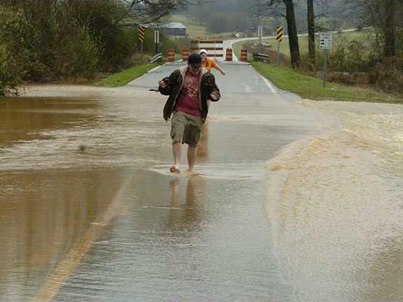
The National Weather Service put much of North Georgia under a flood warning Tuesday that will last through this morning. Steady rains kept water rising slowly, reducing the risk for flash floods.
Ken Rearden, director of Hall County Public Works, said his department closed one road Tuesday because of flooding and will continue watching out for others.
Bryant Quarter Road in East Hall between SR 82/Holly Springs Road and Buffington Farm Road remained closed Tuesday night, and Rearden said Jim Hood and Belton Bridge roads were being closely monitored for flooding.
"Those are historically trouble spots here in the county," Rearden said.
Crews were on call Tuesday night in case of emergencies.
"We have lots of people on standby with equipment," Rearden said. "We’re ready to take on whatever comes our way tonight."
The rain closed several roads in Forsyth County on Tuesday. Roads that were closed or experienced water-related problems included: Mathis Airport Road/Bagley Road area, Tidwell Road, Tidwell Circle, Concord Road on the Oak Grove side, Windy Hill, Settingdown Road, Nicholson Road just north of Old Federal Road and Windermere Parkway.

