
National Weather Service forecast for Gainesville
National Weather Service radar
Today: Showers. The rain could be heavy at times. High near 58. East wind around 10 mph, with gusts as high as 15 mph. Chance of precipitation is 100 percent. New rainfall amounts between one and two inches possible.
Tonight: Showers and possibly a thunderstorm. Some of the storms could produce heavy rainfall. Low around 49. East wind between 5 and 10 mph. Chance of precipitation is 100 percent. New rainfall amounts between one and two inches possible.
Thursday: Showers and possibly a thunderstorm before 2 p.m., then a chance of showers and thunderstorms after 2pm. High near 63. East wind 10 to 15 mph becoming southwest. Winds could gust as high as 25 mph. Chance of precipitation is 90 percent. New rainfall amounts between one and two inches possible.
Thursday Night: A chance of showers and thunderstorms. Mostly cloudy, with a low around 52. East wind around 5 mph. Chance of precipitation is 30 percent.
Friday: Showers likely and possibly a thunderstorm before 2 p.m., then showers and thunderstorms likely after 2 p.m.. Mostly cloudy, with a high near 62. East wind between 10 and 15 mph, with gusts as high as 20 mph. Chance of precipitation is 70 percent.
Friday Night: Showers and thunderstorms likely. Mostly cloudy, with a low around 57. Chance of precipitation is 60 percent.
Saturday: Showers and thunderstorms likely. Mostly cloudy, with a high near 67. Chance of precipitation is 60 percent.
Saturday Night: A slight chance of showers. Mostly cloudy, with a low around 45. Chance of precipitation is 20 percent.
Sunday: Partly sunny, with a high near 65.
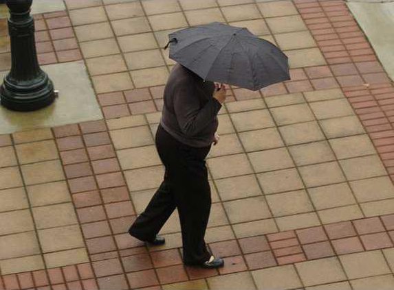
Heavy rain is moving into the region today, and by the time it stops raining Saturday night, forecasters are saying up to 4 inches of rain could fall. The National Weather Service has issued a flood watch for much of north and central Georgia -- including Gainesville -- until Saturday night.
Rain began falling overnight, and heavy rain is expected today and tonight.
"You can expect it to be pretty rainy for the next couple of days," said Laura Griffith, a meteorologist with the weather service's office in Peachtree City.
Up to 2 inches of rain is possible by Thursday morning, Griffith said. Some localized areas may see even more rain during that period.
Griffith said the atmosphere will become even more unstable on Thursday, increasing the chances of thunderstorms through Saturday night.
"Right now, there is only a slight risk of severe thunderstorms," she said. "But there is the possibility that some isolated storms will be severe."
By Sunday, the rain will be gone and the sun will return. Sunny skies are forecast for Sunday and the early part of next week.
High temperatures will be in the mid to upper 60s, which Griffith said is about normal for this time of the year.
A heavy rainfall will be continued good news for Lake Lanier, which has been steadily rising for several weeks. Late Tuesday, the lake was at 1,059.15 feet, about 12 feet below full pool.
The Hydrometeorological Prediction Center's 14-day forecast for the Gainesville area call for average precipitation and above normal temperatures.