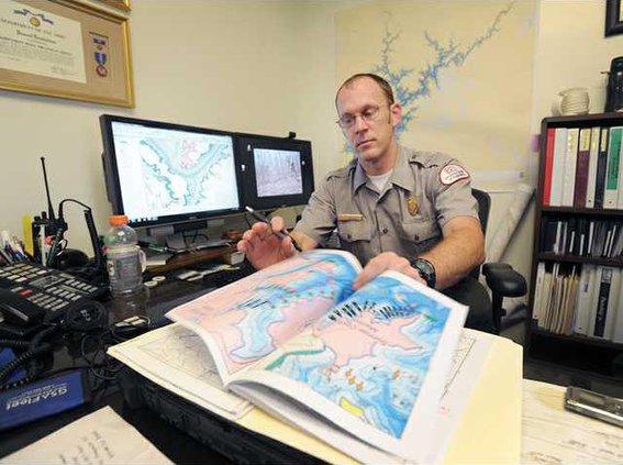
The Army Corps of Engineers today has a full view of most of Lake Lanier’s often-murky depths, thanks to federal stimulus money in 2010 and some nifty technology. A firm contracted by the corps traveled the lake by boat using high-speed sonar, which provided elevation numbers throughout the reservoir, including in and around the many recreation areas filling the shoreline. Crews also used light detection and ranging, which according to the National Oceanic and Atmospheric Administration, is a “remote sensing method used to examine the surface of the earth.”
A look at Lake Lanier below the surface
New depth map technology funded by stimulus may help in rescue efforts