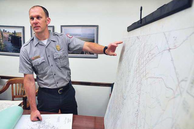
Large farms, orchards and chicken houses that once dotted the landscape in North Georgia are now covered by Lake Lanier’s deep waters. But they can be found in notations on old maps recently discovered in a U.S. Geological Survey warehouse in Washington, D.C., and now in the hands of Army Corps of Engineers’ Lake Lanier Project Management Office at Buford Dam. The hand-drawn maps are not the originals used in building the lake, according to the Army Corps of Engineers, but they still give an early representation of what the region looked like before Lake Lanier was formed.
Landmarks beneath Lake Laniers waters revealed in recently discovered maps
Original purpose of old charts uncertain