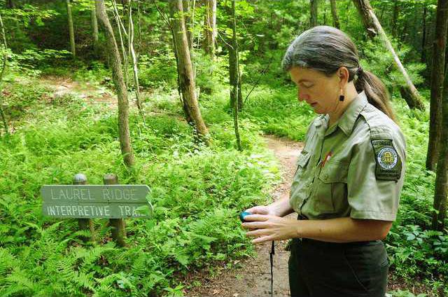
The Georgia Department of Natural Resources has taken a firm grasp on modern technology to help visitors get a new perspective of state parks and historic sites. Using portable GPS units as a guide, the department has created two different geocaching adventures. One is the Parks Challenge and the other is the History Trail Challenge. Geocaching is a treasure hunt where participants use a GPS device to locate hidden prizes, which are hidden in ammunition boxes marked as Georgia State Parks and Historic Sites Geocache. The goal of the two challenges is to help visitors learn more about Georgia’s geography and history. "Sometimes people are in a hurry, and they just come and do the challenge and then they take off, but they’re supposed to come into the visitor’s center and get a park pass," said Johnna Tuttle said, Smithgall Woods Conservation Park interpretive ranger. "They do have to walk a little ways on the trail though, so even if they don’t come inside and make that contact with us, they still get to experience some of Smithgall Woods." To begin the Parks Challenge, participants pick up a Geo-Challenge Passport from any state park or historic site. The passports can also be downloaded from the web. Next, participants visit the geocaching website to get the GPS coordinates for the hidden treasures at 42 different parks around the state. In addition to GPS coordinates, participants get a specific starting point at each park. At Smithgall Woods in Helen, it is the Laurel Ridge Interpretive Trail. "Once you find the hidden box, you take a treasure out and leave one behind," Tuttle said. "You also mark your passport. Each site has a unique stamp." After obtaining 15, 30 and 40 passport stamps, participants are eligible to receive a bronze, silver or gold "geo-coin." Collecting geo-coins allows participants to attempt to find a bonus cache. The History Trail Challenge works a little differently. You can complete this challenge with or without a GPS unit. If you have a GPS, you can download the coordinates from the web. If you don’t have one, you can get a list of clues from the visitor’s center at each of the 14 historic sites. For this challenge, you answer questions at several different locations within each site. The goal is to decipher the 4-digit lock combination on the last cache. Instead of stamping a passport, you collect History Trail Trading Cards. The historic sites are divided into five different history groups: Native Americans, forts, historic homes, plantations and museums/battlefields. "This is the perfect way for families to learn about our nation’s first gold rush, the Civil War and Native Americans while on a fun, statewide journey," said Becky Kelley, Georgia state park director. "Everyone in the family can work together to solve the puzzles that lead them through this quest." With school out for the summer, the two challenges can create a unique learning opportunity for students. The challenges incorporate elements of math, science, reading and even social studies. Area families get the benefit of having several sites located within reasonable distance from each other, so in a single day-trip they can find multiple caches. Other local sites that geocache include Unicoi State Park and Lodge in Helen, Dahlonega Gold Museum State Historic Site and Amicalola Falls State Park and Lodge in Dawsonville.
Geocaching fuses hiking with history and gadgets at Ga. state parks